

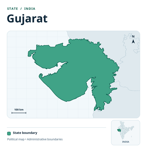
This page lists the 75 towns in Gujarat where we have a polyhouse construction guide. Each guide uses that town's own monthly climate to suggest the right structure (naturally ventilated polyhouse, fan and pad polyhouse or nethouse) and lists our construction and material services. We have built 12 projects in Gujarat so far (see our project map (opens in a new tab)).
The towns listed are 100 to 560 km in a straight line from our nearest site. On the Köppen–Geiger climate map, 53 of these towns fall in the hot semi-arid zone (BSh) and 16 in the tropical savanna (dry winter) zone (Aw), and the rest in other zones.[1] Urban households in Gujarat spent an average of ₹7,198 per person per month in 2023–24, against an all-India urban average of ₹7,078.[2]
Locations in Gujarat
| Town | Population | Climate zone | To our nearest site |
|---|---|---|---|
| Adalaj | – | Hot semi-arid | 370 km |
| Ahmedabad | 63.6 lakh | Hot semi-arid | 360 km |
| Amreli | 1.2 lakh | Hot semi-arid | 320 km |
| Anand | 2.1 lakh | Tropical savanna (dry winter) | 300 km |
| Anjar | 87,000 | Hot semi-arid | 520 km |
| Ankleshwar | 89,000 | Tropical savanna (dry winter) | 200 km |
| Bharuch | 1.7 lakh | Tropical savanna (dry winter) | 210 km |
| Bhavnagar | 6.1 lakh | Hot semi-arid | 260 km |
| Bhuj | 1.5 lakh | Hot desert | 560 km |
| Chhapra | – | – | – |
| Deesa | 1.1 lakh | Hot semi-arid | 500 km |
| Dhoraji | 85,000 | Hot semi-arid | 400 km |
| Gandhidham | 2.5 lakh | Hot semi-arid | 510 km |
| Gandhinagar | 2.9 lakh | Hot semi-arid | 380 km |
| Godhra | 1.4 lakh | Tropical savanna (dry winter) | 310 km |
| Jamnagar | 6 lakh | Hot semi-arid | 470 km |
| Junagadh | 3.2 lakh | Hot semi-arid | 390 km |
| Kadi | 81,000 | Hot semi-arid | 400 km |
| Kapadvanj | 49,000 | Hot semi-arid | 340 km |
| Keshod | 76,000 | Tropical savanna (dry summer) | 400 km |
| Khambhat | 99,000 | Hot semi-arid | 290 km |
| Lathi | 23,000 | Hot semi-arid | 310 km |
| Limbdi | 43,000 | Hot semi-arid | 350 km |
| Lunawada | 37,000 | Hot semi-arid | 350 km |
| Mahemdabad | 35,000 | Hot semi-arid | 330 km |
| Mahesana | 1.9 lakh | Hot semi-arid | 430 km |
| Mahuva | 99,000 | Hot semi-arid | 240 km |
| Manavadar | 31,000 | Hot semi-arid | 410 km |
| Mandvi | 51,000 | Hot semi-arid | 560 km |
| Mangrol | 70,000 | Tropical savanna (dry summer) | 400 km |
| Mansa | 30,000 | Hot semi-arid | 400 km |
| Modasa | 68,000 | Hot semi-arid | 390 km |
| Morbi | 2.1 lakh | Hot semi-arid | 440 km |
| Nadiad | 2.3 lakh | Hot semi-arid | 310 km |
| Navsari | 1.7 lakh | Tropical savanna (dry winter) | 140 km |
| Padra | 47,000 | Tropical savanna (dry winter) | 260 km |
| Palanpur | 1.4 lakh | Hot semi-arid | 480 km |
| Palitana | 64,000 | Hot semi-arid | 270 km |
| Pardi | 28,000 | Tropical savanna (dry winter) | 100 km |
| Patan | 1.3 lakh | Hot semi-arid | 460 km |
| Petlad | 55,000 | Tropical savanna (dry winter) | 290 km |
| Porbandar | 1.5 lakh | Hot semi-arid | 470 km |
| Radhanpur | 40,000 | Hot semi-arid | 480 km |
| Rajkot | 13.9 lakh | Hot semi-arid | 400 km |
| Rajpipla | 35,000 | Tropical savanna (dry winter) | 210 km |
| Rajula | 38,000 | Hot semi-arid | 270 km |
| Ranavav | 46,000 | Hot semi-arid | 460 km |
| Rapar | 28,000 | Hot semi-arid | 510 km |
| Salaya | 33,000 | Hot semi-arid | 500 km |
| Sanand | 96,000 | Hot semi-arid | 360 km |
| Savarkundla | 78,000 | Hot semi-arid | 300 km |
| Sidhpur | 62,000 | Hot semi-arid | 460 km |
| Sihor | 55,000 | Hot semi-arid | 270 km |
| Songadh | 27,000 | Tropical savanna (dry winter) | 130 km |
| Surat | 45.9 lakh | Tropical savanna (dry summer) | 170 km |
| Surendranagar Dudhrej Wadhwan | 1.8 lakh | Hot semi-arid | 380 km |
| Talaja | 30,000 | Hot semi-arid | 240 km |
| Thangadh | 43,000 | Hot semi-arid | 390 km |
| Tharad | 28,000 | Hot semi-arid | 540 km |
| Umbergaon | – | Tropical savanna (dry winter) | 110 km |
| Umreth | 34,000 | Tropical savanna (dry winter) | 310 km |
| Una | 59,000 | Hot semi-arid | 300 km |
| Unjha | 57,000 | Hot semi-arid | 450 km |
| Upleta | 59,000 | Hot semi-arid | 410 km |
| Vadnagar | 28,000 | Hot semi-arid | 440 km |
| Vadodara | 18.2 lakh | Tropical savanna (dry winter) | 260 km |
| Valsad | 1.4 lakh | Tropical savanna (dry winter) | 110 km |
| Vapi | 1.6 lakh | Tropical savanna (dry winter) | 100 km |
| Veraval | 1.7 lakh | Tropical savanna (dry summer) | 370 km |
| Vijapur | 35,000 | Hot semi-arid | 410 km |
| Viramgam | 56,000 | Hot semi-arid | 390 km |
| Visnagar | 77,000 | Hot semi-arid | 430 km |
| Vyara | 40,000 | Tropical savanna (dry winter) | 130 km |
| Wadhwan | – | Hot semi-arid | 370 km |
| Wankaner | 48,000 | Hot semi-arid | 410 km |
Protected structures we build
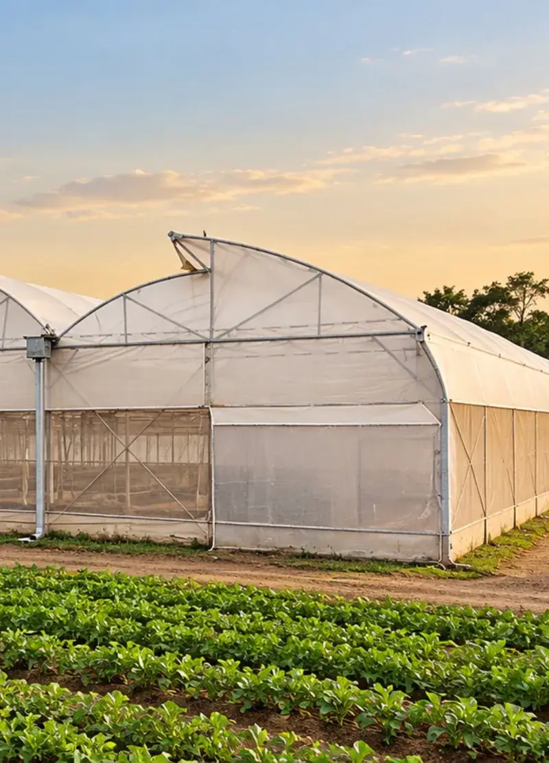

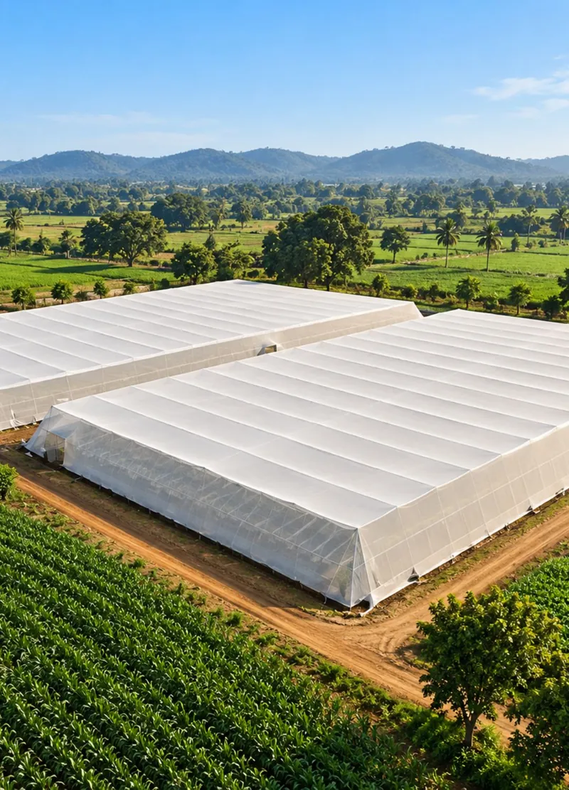
Subsidy in Gujarat
Polyhouse, shade net and hydroponic projects can apply for assistance under the Mission for Integrated Development of Horticulture (MIDH) through the Gujarat horticulture department. Rates and limits change, so check the current norms when you apply. We prepare the Detailed Project Report for your bank loan and subsidy application.[3]
Sources
- Rubel & Kottek, University of Veterinary Medicine Vienna · World map of the Köppen–Geiger climate classification (opens in a new tab)
- Ministry of Statistics and Programme Implementation (MoSPI) · Household Consumption Expenditure Survey 2023–24: press note (opens in a new tab)
- Ministry of Agriculture and Farmers Welfare · Mission for Integrated Development of Horticulture (MIDH) (opens in a new tab)